Stairbridge Lane
Introduction
The photograph on this page of Stairbridge Lane by Simon Carey as part of the Geograph project.
The Geograph project started in 2005 with the aim of publishing, organising and preserving representative images for every square kilometre of Great Britain, Ireland and the Isle of Man.

There are currently over 7.5m images from over 14,400 individuals and you can help contribute to the project by visiting https://www.geograph.org.uk
Stairbridge Lane
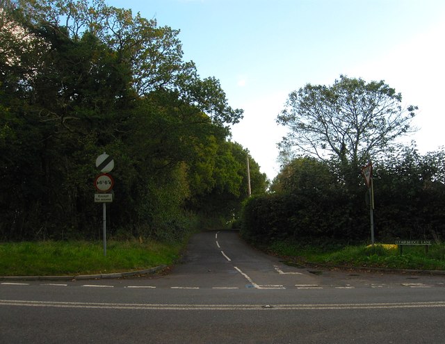
Image: © Simon Carey Taken: 11 Oct 2014
Originally a continuation of Buncton Lane and thus an old droving route. The crossroads arrived in 1825 with the building of a new turnpike that would become the A272.
Images are licensed for reuse under creativecommons.org/licenses/by-sa/2.0
Image Location
Latitude
50.987414
Longitude
-0.189531