The Blackwater at Maghery
Introduction
The photograph on this page of The Blackwater at Maghery by Dean Molyneaux as part of the Geograph project.
The Geograph project started in 2005 with the aim of publishing, organising and preserving representative images for every square kilometre of Great Britain, Ireland and the Isle of Man.

There are currently over 7.5m images from over 14,400 individuals and you can help contribute to the project by visiting https://www.geograph.org.uk
The Blackwater at Maghery
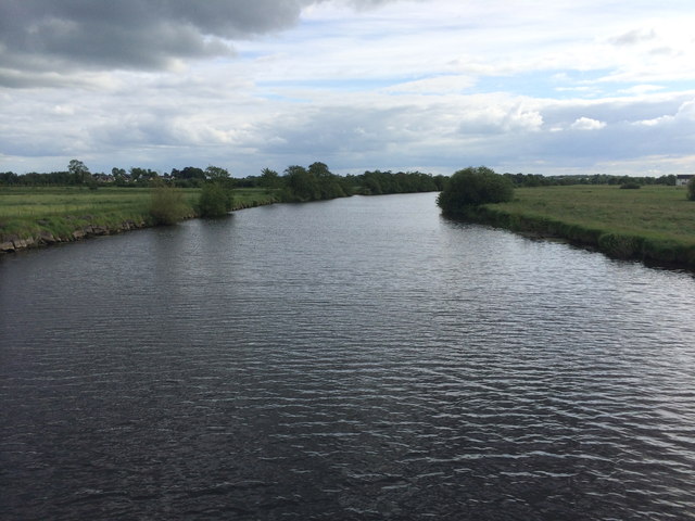
Image: © Dean Molyneaux Taken: 4 Jun 2014
Looking south from the footbridge at Maghery. This is also the county boundary, with Armagh on the left and Tyrone on the right.
Images are licensed for reuse under creativecommons.org/licenses/by-sa/2.0
Image Location
Latitude
54.512062
Longitude
-6.577525