Towards Cwmdu from Tretower
Introduction
The photograph on this page of Towards Cwmdu from Tretower by Jaggery as part of the Geograph project.
The Geograph project started in 2005 with the aim of publishing, organising and preserving representative images for every square kilometre of Great Britain, Ireland and the Isle of Man.

There are currently over 7.5m images from over 14,400 individuals and you can help contribute to the project by visiting https://www.geograph.org.uk
Towards Cwmdu from Tretower
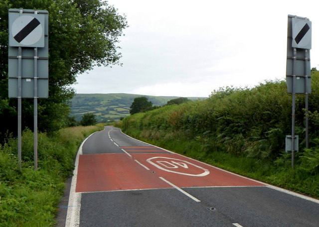
Image: © Jaggery Taken: 1 Jul 2012
Beyond the NW boundary of Tretower in south Powys, the speed limit along the A479 increases from 40mph to the National Speed Limit. The small village of Cwmdu (or Llanfihangel Cwmdu) is 2km ahead.
Images are licensed for reuse under creativecommons.org/licenses/by-sa/2.0
Image Location
Latitude
51.887143
Longitude
-3.186896