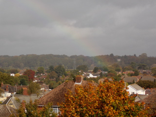
Northbourne: the crock of gold is at Keeble Road
Introduction
The photograph on this page of Northbourne: the crock of gold is at Keeble Road by Chris Downer as part of the Geograph project.
The Geograph project started in 2005 with the aim of publishing, organising and preserving representative images for every square kilometre of Great Britain, Ireland and the Isle of Man.
There are currently over 7.5m images from over 14,400 individuals and you can help contribute to the project by visiting https://www.geograph.org.uk

Image: © Chris Downer Taken: 16 Oct 2014
Looking across the rooftops of Kinson/Northbourne as a rainbow reaches Earth roughly at the playpark in Keeble Road, a modern housing estate on a previously vacant plot. The electricity pylon in the background stands in the middle of a field at about SZ 0764 9720, larger-scale Ordnance Survey maps show the line running a few hundred yards to the north, so presumably it has been realigned in recent years.

