Kentford Heath
Introduction
The photograph on this page of Kentford Heath by Bob Jones as part of the Geograph project.
The Geograph project started in 2005 with the aim of publishing, organising and preserving representative images for every square kilometre of Great Britain, Ireland and the Isle of Man.

There are currently over 7.5m images from over 14,400 individuals and you can help contribute to the project by visiting https://www.geograph.org.uk
Kentford Heath
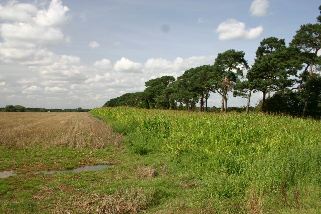
Image: © Bob Jones Taken: 23 Aug 2005
The northern edge of a large wheat field has a strip of maize, a common feature in Suffolk.
Images are licensed for reuse under creativecommons.org/licenses/by-sa/2.0
Image Location
Latitude
52.285982
Longitude
0.517318