Hadrian's Wall Path at Gilsland
Introduction
The photograph on this page of Hadrian's Wall Path at Gilsland by Bobby Clegg as part of the Geograph project.
The Geograph project started in 2005 with the aim of publishing, organising and preserving representative images for every square kilometre of Great Britain, Ireland and the Isle of Man.

There are currently over 7.5m images from over 14,400 individuals and you can help contribute to the project by visiting https://www.geograph.org.uk
Hadrian's Wall Path at Gilsland
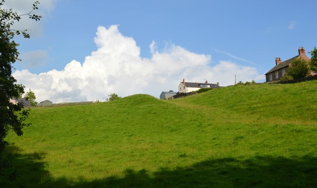
Image: © Bobby Clegg Taken: 18 Jun 2014
Fine weather for hiking Hadrian's Wall, but with a bit of cloud bubbling up though. We've only got to make it to Greenhead today!
Images are licensed for reuse under creativecommons.org/licenses/by-sa/2.0
Image Location


Leaflet Map data © OpenStreetMap
Latitude
54.989496
Longitude
-2.571181