The Deanie Burn below Deanie Lodge
Introduction
The photograph on this page of The Deanie Burn below Deanie Lodge by Nigel Brown as part of the Geograph project.
The Geograph project started in 2005 with the aim of publishing, organising and preserving representative images for every square kilometre of Great Britain, Ireland and the Isle of Man.

There are currently over 7.5m images from over 14,400 individuals and you can help contribute to the project by visiting https://www.geograph.org.uk
The Deanie Burn below Deanie Lodge
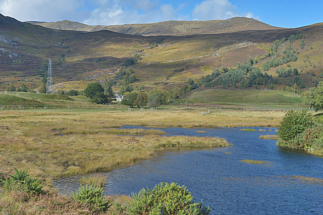
Image: © Nigel Brown Taken: 1 Oct 2014
The current satellite image shows this as farmed land; it looks as though a wetland has been created since.
Images are licensed for reuse under creativecommons.org/licenses/by-sa/2.0
Image Location
Latitude
57.415477
Longitude
-4.797305