Upper Burgate, Bryants Cottage
Introduction
The photograph on this page of Upper Burgate, Bryants Cottage by Mike Faherty as part of the Geograph project.
The Geograph project started in 2005 with the aim of publishing, organising and preserving representative images for every square kilometre of Great Britain, Ireland and the Isle of Man.

There are currently over 7.5m images from over 14,400 individuals and you can help contribute to the project by visiting https://www.geograph.org.uk
Upper Burgate, Bryants Cottage
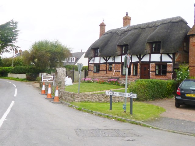
Image: © Mike Faherty Taken: 15 Oct 2014
C17 thatched cottage at the junction of A338 and Fryerns Court Road. Listed by English Heritage: http://www.imagesofengland.org.uk/Details/Default.aspx?id=143960&mode=adv
Images are licensed for reuse under creativecommons.org/licenses/by-sa/2.0
Image Location
Latitude
50.946205
Longitude
-1.782448