Upper Burgate, gate & signpost
Introduction
The photograph on this page of Upper Burgate, gate & signpost by Mike Faherty as part of the Geograph project.
The Geograph project started in 2005 with the aim of publishing, organising and preserving representative images for every square kilometre of Great Britain, Ireland and the Isle of Man.

There are currently over 7.5m images from over 14,400 individuals and you can help contribute to the project by visiting https://www.geograph.org.uk
Upper Burgate, gate & signpost
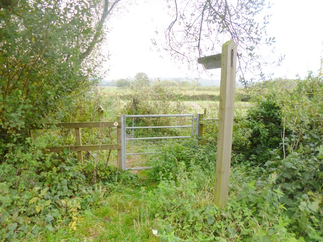
Image: © Mike Faherty Taken: 15 Oct 2014
Leading to the footpath from Upper Burgate to South Charford, an excellent project by Breamore Parish Council and partners to re-instate the trackbed of the former railway line.
Images are licensed for reuse under creativecommons.org/licenses/by-sa/2.0
Image Location
Latitude
50.946204
Longitude
-1.782021