Descending Gay Hill northwest of Headley Heath
Introduction
The photograph on this page of Descending Gay Hill northwest of Headley Heath by Robin Stott as part of the Geograph project.
The Geograph project started in 2005 with the aim of publishing, organising and preserving representative images for every square kilometre of Great Britain, Ireland and the Isle of Man.

There are currently over 7.5m images from over 14,400 individuals and you can help contribute to the project by visiting https://www.geograph.org.uk
Descending Gay Hill northwest of Headley Heath
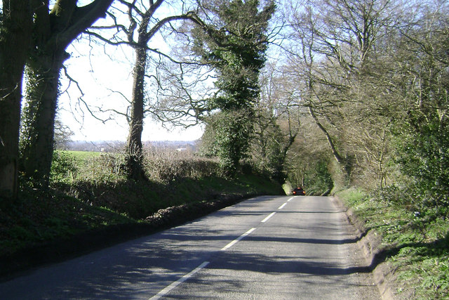
Image: © Robin Stott Taken: 16 Mar 2014
The road drops down 30 metres in 5-600 metres then climbs to Walker's Heath Image Southwest Birmingham is on the skyline.
Images are licensed for reuse under creativecommons.org/licenses/by-sa/2.0
Image Location
Latitude
52.394768
Longitude
-1.912663