The drive to the County Council Staff Sportsground, Myton, Warwick
Introduction
The photograph on this page of The drive to the County Council Staff Sportsground, Myton, Warwick by Robin Stott as part of the Geograph project.
The Geograph project started in 2005 with the aim of publishing, organising and preserving representative images for every square kilometre of Great Britain, Ireland and the Isle of Man.

There are currently over 7.5m images from over 14,400 individuals and you can help contribute to the project by visiting https://www.geograph.org.uk
The drive to the County Council Staff Sportsground, Myton, Warwick
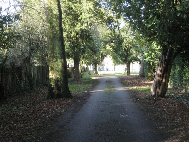
Image: © Robin Stott Taken: 14 Jan 2014
This drive is older than the adjoining properties. The OS 1:2500 map of 1889 shows a meandering path between trees that meets the floodmeadow and bears east to Myton Grange (a large house where Myton Hamlet hospice is now). Subsequently the path is not shown although presumably this narrow strip was an access to the floodmeadow, now the sportsground, which is first shown on the map of 1953-68. This tree-lined strip is shown as a drive.
Images are licensed for reuse under creativecommons.org/licenses/by-sa/2.0
Image Location
Latitude
52.281892
Longitude
-1.565041