The Woodlands, Elm Road
Introduction
The photograph on this page of The Woodlands, Elm Road by Trevor Harris as part of the Geograph project.
The Geograph project started in 2005 with the aim of publishing, organising and preserving representative images for every square kilometre of Great Britain, Ireland and the Isle of Man.

There are currently over 7.5m images from over 14,400 individuals and you can help contribute to the project by visiting https://www.geograph.org.uk
The Woodlands, Elm Road
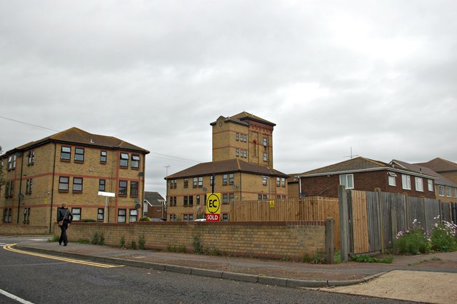
Image: © Trevor Harris Taken: 12 Oct 2014
Currently still shown as "Works" on the map, this housing development uses adapted industrial buildings (like the tower seen here) and new-build on this brown-field site.
Images are licensed for reuse under creativecommons.org/licenses/by-sa/2.0
Image Location
Latitude
51.535949
Longitude
0.792535