Tadworth Close
Introduction
The photograph on this page of Tadworth Close by Gordon Griffiths as part of the Geograph project.
The Geograph project started in 2005 with the aim of publishing, organising and preserving representative images for every square kilometre of Great Britain, Ireland and the Isle of Man.

There are currently over 7.5m images from over 14,400 individuals and you can help contribute to the project by visiting https://www.geograph.org.uk
Tadworth Close
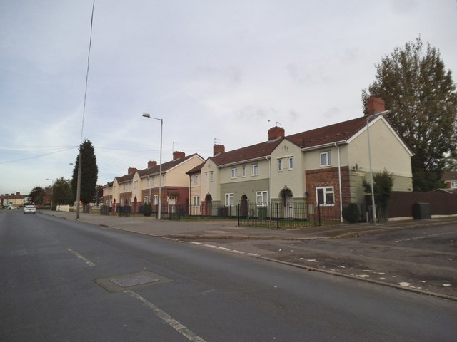
Image: © Gordon Griffiths Taken: 12 Oct 2014
The view of the junction with Old Heath Road in Horseley Fields, Wolverhampton.
Images are licensed for reuse under creativecommons.org/licenses/by-sa/2.0
Image Location
Latitude
52.58633
Longitude
-2.103422