Footbridge over A6
Introduction
The photograph on this page of Footbridge over A6 by Dave Dunford as part of the Geograph project.
The Geograph project started in 2005 with the aim of publishing, organising and preserving representative images for every square kilometre of Great Britain, Ireland and the Isle of Man.

There are currently over 7.5m images from over 14,400 individuals and you can help contribute to the project by visiting https://www.geograph.org.uk
Footbridge over A6
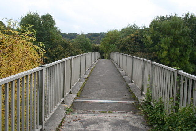
Image: © Dave Dunford Taken: 2 Oct 2014
The A6 between Whaley Bridge and Chapel-en-le-Frith is one of the few stretches for miles in either direction that is dual-carriageway - a relief to motorists but something of a blight on the local settlements. This footbridge, carrying a footpath linking Bugsworth Basin with the southern half of Buxworth village, is right on the grid-square boundary.
Images are licensed for reuse under creativecommons.org/licenses/by-sa/2.0
Image Location
Latitude
53.334813
Longitude
-1.965422