Restricted Byway at Scopwick Low Field Farm
Introduction
The photograph on this page of Restricted Byway at Scopwick Low Field Farm by Ken Brockway as part of the Geograph project.
The Geograph project started in 2005 with the aim of publishing, organising and preserving representative images for every square kilometre of Great Britain, Ireland and the Isle of Man.

There are currently over 7.5m images from over 14,400 individuals and you can help contribute to the project by visiting https://www.geograph.org.uk
Restricted Byway at Scopwick Low Field Farm
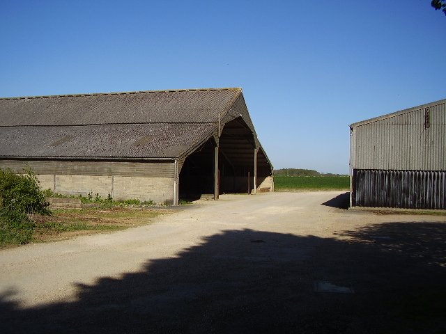
Image: © Ken Brockway Taken: 1 May 2007
Although the map suggests the route to Scopwick Low Field Farm is a metalled road it is now signed as a Restricted Byway. The route passes between the farm building which appear to be disused.
Images are licensed for reuse under creativecommons.org/licenses/by-sa/2.0
Image Location


Leaflet Map data © OpenStreetMap
Latitude
53.117872
Longitude
-0.380433