Marsh Green
Introduction
The photograph on this page of Marsh Green by Marathon as part of the Geograph project.
The Geograph project started in 2005 with the aim of publishing, organising and preserving representative images for every square kilometre of Great Britain, Ireland and the Isle of Man.

There are currently over 7.5m images from over 14,400 individuals and you can help contribute to the project by visiting https://www.geograph.org.uk
Marsh Green
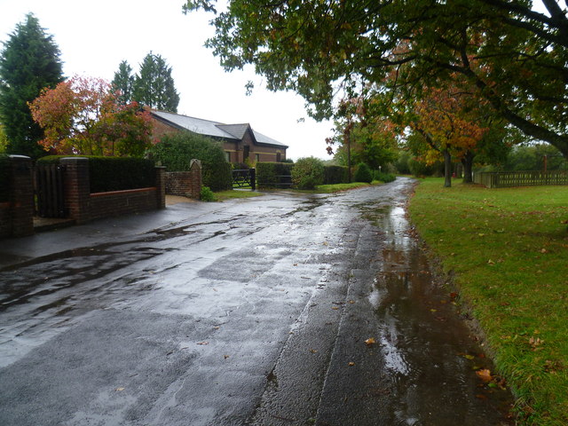
Image: © Marathon Taken: 11 Oct 2014
Marsh Green was founded in 1554 under its current name. The large triangular green extends from the village at the western end away from any houses to the east. The B2028 (Marsh Green Road) follows the southern side. This view looks along the quieter road which follows the other two sides, close to the church. Marsh Green claims the last bare-knuckle boxing fight in England, in 1886.
Images are licensed for reuse under creativecommons.org/licenses/by-sa/2.0
Image Location


Leaflet Map data © OpenStreetMap
Latitude
51.180721
Longitude
0.057836