Barlby Road junction with St Marks Road, W10
Introduction
The photograph on this page of Barlby Road junction with St Marks Road, W10 by Danny P Robinson as part of the Geograph project.
The Geograph project started in 2005 with the aim of publishing, organising and preserving representative images for every square kilometre of Great Britain, Ireland and the Isle of Man.

There are currently over 7.5m images from over 14,400 individuals and you can help contribute to the project by visiting https://www.geograph.org.uk
Barlby Road junction with St Marks Road, W10
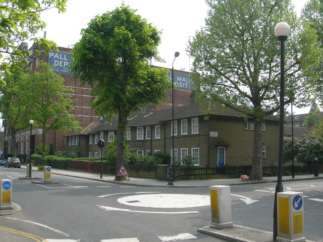
Image: © Danny P Robinson Taken: 29 Apr 2007
View is of Barlby Road, facing towards Ladbroke Grove, with St Marks Road on the right. Beyond the mini roundabout there is a large set of Business Units, just outside this grid square.
Images are licensed for reuse under creativecommons.org/licenses/by-sa/2.0
Image Location
Latitude
51.522501
Longitude
-0.21985