Houses under construction
Introduction
The photograph on this page of Houses under construction by John Baker as part of the Geograph project.
The Geograph project started in 2005 with the aim of publishing, organising and preserving representative images for every square kilometre of Great Britain, Ireland and the Isle of Man.

There are currently over 7.5m images from over 14,400 individuals and you can help contribute to the project by visiting https://www.geograph.org.uk
Houses under construction
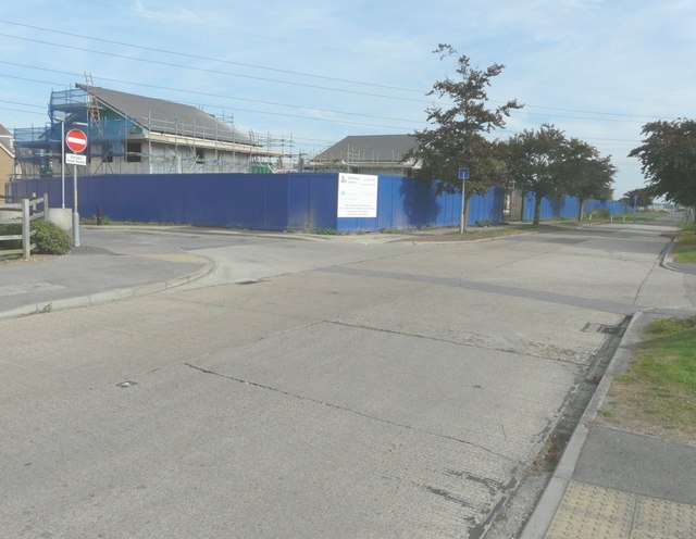
Image: © John Baker Taken: 28 Sep 2014
The development of this site is described in Swale Borough Council’s planning application SW/12/1425 as “land off Ridham Avenue, Kemsley”.
Images are licensed for reuse under creativecommons.org/licenses/by-sa/2.0
Image Location
Latitude
51.362922
Longitude
0.746219