Path to the church of St Margaret of Antioch
Introduction
The photograph on this page of Path to the church of St Margaret of Antioch by John Baker as part of the Geograph project.
The Geograph project started in 2005 with the aim of publishing, organising and preserving representative images for every square kilometre of Great Britain, Ireland and the Isle of Man.

There are currently over 7.5m images from over 14,400 individuals and you can help contribute to the project by visiting https://www.geograph.org.uk
Path to the church of St Margaret of Antioch
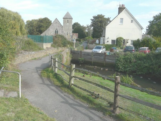
Image: © John Baker Taken: 28 Sep 2014
The cottage, that is situated almost opposite, has a date-stone inscribed Homeplace 1896. It is semi-detached and is numbered 1 and 2. Ducks were in evidence on the grass beside the path or in the water beyond.
Images are licensed for reuse under creativecommons.org/licenses/by-sa/2.0
Image Location
Latitude
51.375183
Longitude
0.671077