Royal Well Road
Introduction
The photograph on this page of Royal Well Road by Philip Halling as part of the Geograph project.
The Geograph project started in 2005 with the aim of publishing, organising and preserving representative images for every square kilometre of Great Britain, Ireland and the Isle of Man.

There are currently over 7.5m images from over 14,400 individuals and you can help contribute to the project by visiting https://www.geograph.org.uk
Royal Well Road
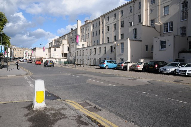
Image: © Philip Halling Taken: 4 Oct 2014
Royal Well Road in Cheltenham, the building on the left is the rear of the Municipal Offices which overlook the Promenade.
Images are licensed for reuse under creativecommons.org/licenses/by-sa/2.0
Image Location
Latitude
51.899309
Longitude
-2.078144