Staggered junction, Jenner Drive
Introduction
The photograph on this page of Staggered junction, Jenner Drive by Alan Hunt as part of the Geograph project.
The Geograph project started in 2005 with the aim of publishing, organising and preserving representative images for every square kilometre of Great Britain, Ireland and the Isle of Man.

There are currently over 7.5m images from over 14,400 individuals and you can help contribute to the project by visiting https://www.geograph.org.uk
Staggered junction, Jenner Drive
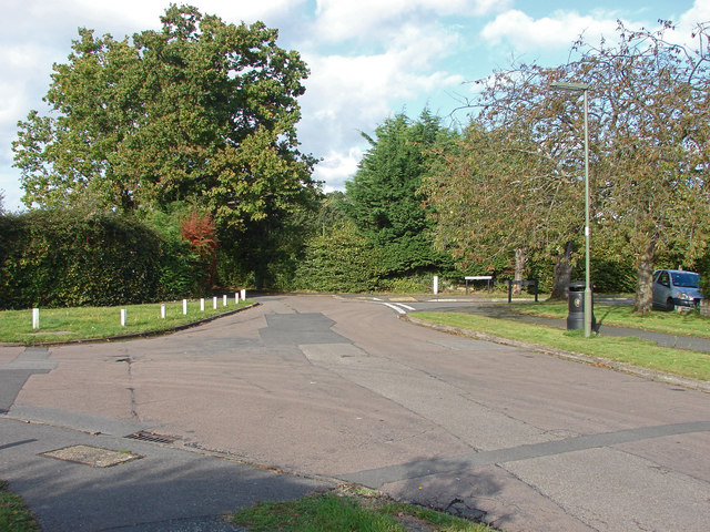
Image: © Alan Hunt Taken: 8 Oct 2014
Jenner Drive with Commonfields on the left and the north end of Barnsfield Crescent on the right.
Images are licensed for reuse under creativecommons.org/licenses/by-sa/2.0
Image Location
Latitude
51.340336
Longitude
-0.637247