Holly Blue Drive, Iwade Meadows
Introduction
The photograph on this page of Holly Blue Drive, Iwade Meadows by John Baker as part of the Geograph project.
The Geograph project started in 2005 with the aim of publishing, organising and preserving representative images for every square kilometre of Great Britain, Ireland and the Isle of Man.

There are currently over 7.5m images from over 14,400 individuals and you can help contribute to the project by visiting https://www.geograph.org.uk
Holly Blue Drive, Iwade Meadows
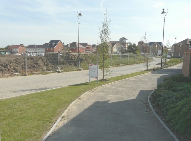
Image: © John Baker Taken: 28 Sep 2014
A development of 2, 3 and 4 bedroom homes http://www.hillreed.co.uk/developments/iwade situated to the south of School Lane. Planning permission was granted by Swale Borough Council’s under application number SW/08/1127 for the “development of housing, employment (up to 3000 square metres), public open space and pavilion (up to 110 square metres), with access from School Lane and Sheppey Way, including roads, cycle paths, footpaths, stream crossings, landscaping and ancillary works”. The location was given as land adjacent (to) Coleshall Farm, Sheppey Way.
Images are licensed for reuse under creativecommons.org/licenses/by-sa/2.0
Image Location
Latitude
51.375247
Longitude
0.722958