When did you last Survey your Ordinances?
Introduction
The photograph on this page of When did you last Survey your Ordinances? by Alan Murray-Rust as part of the Geograph project.
The Geograph project started in 2005 with the aim of publishing, organising and preserving representative images for every square kilometre of Great Britain, Ireland and the Isle of Man.

There are currently over 7.5m images from over 14,400 individuals and you can help contribute to the project by visiting https://www.geograph.org.uk
When did you last Survey your Ordinances?
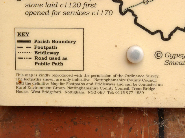
Image: © Alan Murray-Rust Taken: 5 Oct 2014
Detail of the local Parish Footpaths map http://www.geograph.org.uk/photo/4197376 with, sadly, several spelling errors. It's also unfortunate that the symbols for footpaths and bridleways are the reverse of the conventional symbols on Ordnance Survey maps.
Images are licensed for reuse under creativecommons.org/licenses/by-sa/2.0
Image Location


Leaflet Map data © OpenStreetMap
Latitude
53.351469
Longitude
-0.905991