Old Oxted: The end of Beadles Lane.
Introduction
The photograph on this page of Old Oxted: The end of Beadles Lane. by Dr Neil Clifton as part of the Geograph project.
The Geograph project started in 2005 with the aim of publishing, organising and preserving representative images for every square kilometre of Great Britain, Ireland and the Isle of Man.

There are currently over 7.5m images from over 14,400 individuals and you can help contribute to the project by visiting https://www.geograph.org.uk
Old Oxted: The end of Beadles Lane.
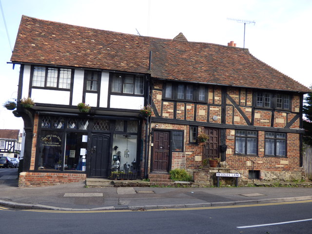
Image: © Dr Neil Clifton Taken: 7 Oct 2014
This is the north end of Beadles Lane, just slightly at the junction with High Street.
Images are licensed for reuse under creativecommons.org/licenses/by-sa/2.0
Image Location
Latitude
51.252159
Longitude
-0.016934