Thames Tunnel Mills and The Mayflower, Rotherhithe
Introduction
The photograph on this page of Thames Tunnel Mills and The Mayflower, Rotherhithe by Robin Webster as part of the Geograph project.
The Geograph project started in 2005 with the aim of publishing, organising and preserving representative images for every square kilometre of Great Britain, Ireland and the Isle of Man.

There are currently over 7.5m images from over 14,400 individuals and you can help contribute to the project by visiting https://www.geograph.org.uk
Thames Tunnel Mills and The Mayflower, Rotherhithe
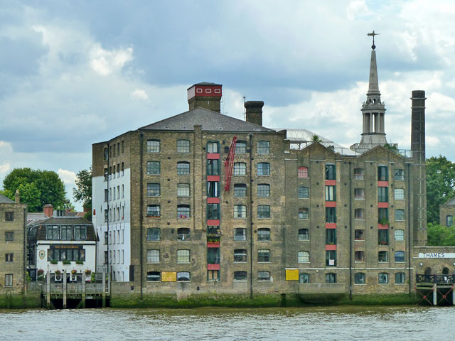
Image: © Robin Webster Taken: 30 Jun 2011
The mill building is converted into flats. The pub is to the left, dwarfed by its neighbours, typical for pubs along the waterfront.
Images are licensed for reuse under creativecommons.org/licenses/by-sa/2.0
Image Location
Latitude
51.501701
Longitude
-0.053956