Wittet Drive
Introduction
The photograph on this page of Wittet Drive by Anne Burgess as part of the Geograph project.
The Geograph project started in 2005 with the aim of publishing, organising and preserving representative images for every square kilometre of Great Britain, Ireland and the Isle of Man.

There are currently over 7.5m images from over 14,400 individuals and you can help contribute to the project by visiting https://www.geograph.org.uk
Wittet Drive
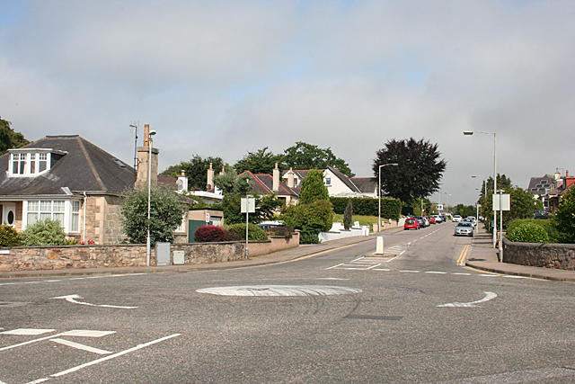
Image: © Anne Burgess Taken: 23 Jul 2014
The Council is promoting a controversial and unpopular plan to turn Wittet Drive into a town bypass. Since they first mooted it the Scottish Government has announced a proper dual carriageway to link Aberdeen to Inverness, which would completely bypass the built-up area, so it is rather difficult to understand why the Council is so determined to go ahead with their plan.
Images are licensed for reuse under creativecommons.org/licenses/by-sa/2.0
Image Location
Latitude
57.64467
Longitude
-3.332637