Open space between houses, below Kingsway, Teignmouth
Introduction
The photograph on this page of Open space between houses, below Kingsway, Teignmouth by Robin Stott as part of the Geograph project.
The Geograph project started in 2005 with the aim of publishing, organising and preserving representative images for every square kilometre of Great Britain, Ireland and the Isle of Man.

There are currently over 7.5m images from over 14,400 individuals and you can help contribute to the project by visiting https://www.geograph.org.uk
Open space between houses, below Kingsway, Teignmouth
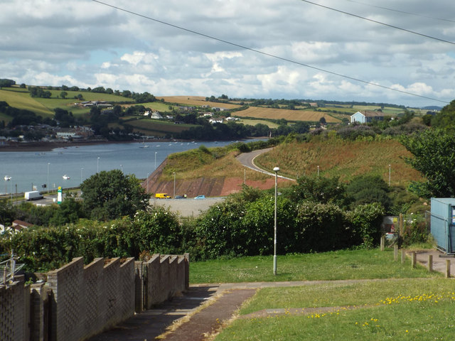
Image: © Robin Stott Taken: 8 Jul 2014
As Kingsway climbs steeply, views open. On the left there is a glimpse of the Teign estuary and, left of centre, Newfoundland Road, the access to the recently-built Morrisons supermarket and sports pitches at Broadmeadow; the yellow vehicle is an AA van. At upper right is the house called The Lea and at centre is the realigned lane of the same name; its lower end is in Image Some of the early council houses off Kingsway, not yet replaced, are seen in Image
Images are licensed for reuse under creativecommons.org/licenses/by-sa/2.0
Image Location
Latitude
50.547811
Longitude
-3.513992