Flats and fence, Thamesmead
Introduction
The photograph on this page of Flats and fence, Thamesmead by Robin Webster as part of the Geograph project.
The Geograph project started in 2005 with the aim of publishing, organising and preserving representative images for every square kilometre of Great Britain, Ireland and the Isle of Man.

There are currently over 7.5m images from over 14,400 individuals and you can help contribute to the project by visiting https://www.geograph.org.uk
Flats and fence, Thamesmead
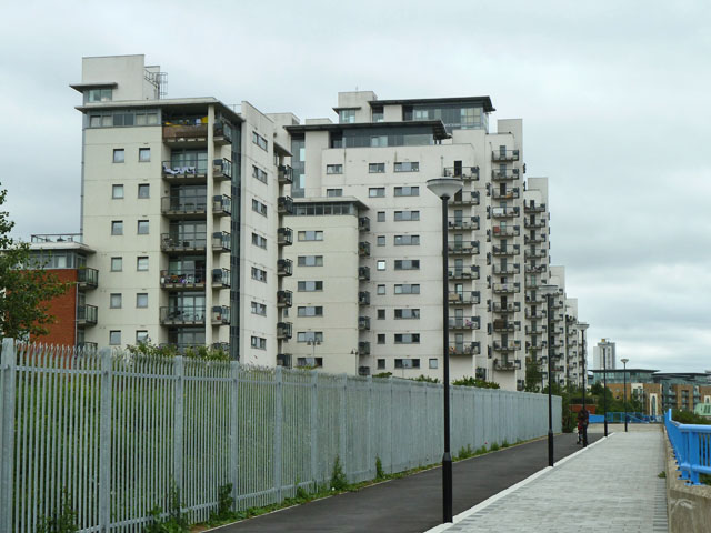
Image: © Robin Webster Taken: 25 Jun 2011
The original planning and subsequent management of this development of the old Royal Arsenal site could have been better. There is now an abundance of unsightly security and 'safety' fencing disfiguring this area, including the long and expensive fence on the left which appears to exclude everybody from an area of greenery which could be an attractive semi-wild park.
Images are licensed for reuse under creativecommons.org/licenses/by-sa/2.0
Image Location
Latitude
51.497587
Longitude
0.080866