Long Down Avenue, Bristol
Introduction
The photograph on this page of Long Down Avenue, Bristol by Derek Harper as part of the Geograph project.
The Geograph project started in 2005 with the aim of publishing, organising and preserving representative images for every square kilometre of Great Britain, Ireland and the Isle of Man.

There are currently over 7.5m images from over 14,400 individuals and you can help contribute to the project by visiting https://www.geograph.org.uk
Long Down Avenue, Bristol
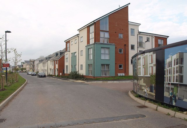
Image: © Derek Harper Taken: 29 Sep 2014
I'm not sure where I am here. It could be Stoke Gifford, Stoke Park, Cheswick (formerly Wallscourt Farm), Filton ... There's even some virtual housing on the right, by the junction with Wallshut Wood.
Images are licensed for reuse under creativecommons.org/licenses/by-sa/2.0
Image Location
Latitude
51.497619
Longitude
-2.560324