Brewhouse Pond
Introduction
The photograph on this page of Brewhouse Pond by Simon Carey as part of the Geograph project.
The Geograph project started in 2005 with the aim of publishing, organising and preserving representative images for every square kilometre of Great Britain, Ireland and the Isle of Man.

There are currently over 7.5m images from over 14,400 individuals and you can help contribute to the project by visiting https://www.geograph.org.uk
Brewhouse Pond
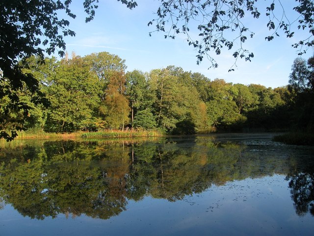
Image: © Simon Carey Taken: 5 Oct 2014
Called Horse Pond on Cuckfield's 1842 tithe map though known by its current name on the 1875 OS map. To the south is Image which more than suggests the pond is man made and was possibly used in the past to peer a watermill of some kind.
Images are licensed for reuse under creativecommons.org/licenses/by-sa/2.0
Image Location
Latitude
50.986192
Longitude
-0.163078