Barn Field (2)
Introduction
The photograph on this page of Barn Field (2) by Simon Carey as part of the Geograph project.
The Geograph project started in 2005 with the aim of publishing, organising and preserving representative images for every square kilometre of Great Britain, Ireland and the Isle of Man.

There are currently over 7.5m images from over 14,400 individuals and you can help contribute to the project by visiting https://www.geograph.org.uk
Barn Field (2)
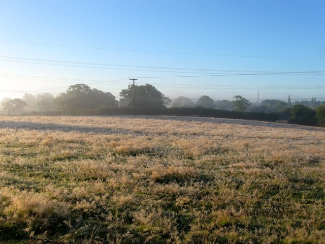
Image: © Simon Carey Taken: 5 Oct 2014
The name of the field according to Bolney's 1842 tithe map that has been split in two by the access road to Chaites Farm from the A23. See Image for the northern part. The early morning dew and mist has had a strange effect on the grass in this field turning it almost white.
Images are licensed for reuse under creativecommons.org/licenses/by-sa/2.0
Image Location
Latitude
50.977241
Longitude
-0.194628