Grenfell Road, W11
Introduction
The photograph on this page of Grenfell Road, W11 by Danny P Robinson as part of the Geograph project.
The Geograph project started in 2005 with the aim of publishing, organising and preserving representative images for every square kilometre of Great Britain, Ireland and the Isle of Man.

There are currently over 7.5m images from over 14,400 individuals and you can help contribute to the project by visiting https://www.geograph.org.uk
Grenfell Road, W11
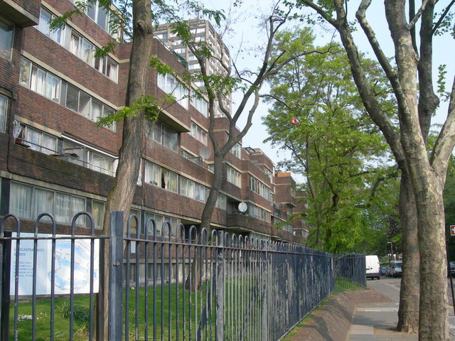
Image: © Danny P Robinson Taken: 29 Apr 2007
Showing the Lancaster West Estate, with Barandon Walk in the foreground, and Grenfell Tower in the background. Picture taken at junction of Bomore Road.
Images are licensed for reuse under creativecommons.org/licenses/by-sa/2.0
Image Location
Latitude
51.512633
Longitude
-0.215479