Field by Dodington Lane
Introduction
The photograph on this page of Field by Dodington Lane by Derek Harper as part of the Geograph project.
The Geograph project started in 2005 with the aim of publishing, organising and preserving representative images for every square kilometre of Great Britain, Ireland and the Isle of Man.

There are currently over 7.5m images from over 14,400 individuals and you can help contribute to the project by visiting https://www.geograph.org.uk
Field by Dodington Lane
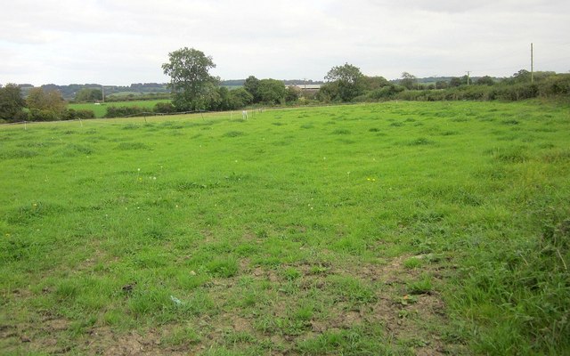
Image: © Derek Harper Taken: 27 Sep 2014
The field is shown in Image] from a gate across in the centre of this image; the tall tree can be seen in both. In the background is Image
Images are licensed for reuse under creativecommons.org/licenses/by-sa/2.0
Image Location
Latitude
51.526347
Longitude
-2.394909