Lower end of Dock Lane, Dudley
Introduction
The photograph on this page of Lower end of Dock Lane, Dudley by Robin Stott as part of the Geograph project.
The Geograph project started in 2005 with the aim of publishing, organising and preserving representative images for every square kilometre of Great Britain, Ireland and the Isle of Man.

There are currently over 7.5m images from over 14,400 individuals and you can help contribute to the project by visiting https://www.geograph.org.uk
Lower end of Dock Lane, Dudley
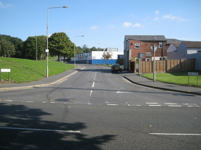
Image: © Robin Stott Taken: 29 Sep 2013
The blue and white building has showroom, offices and premises to let. On the left, the Oxford Street area and round the leisure centre has been generously landscaped, with much use of shapely grassed mounds and tree-planting. There were formerly parallel streets of mixed housing, industry and open ground on the hillside site.
Images are licensed for reuse under creativecommons.org/licenses/by-sa/2.0
Image Location
Latitude
52.508486
Longitude
-2.093809