Monarch's Way at Birch Grove Farm
Introduction
The photograph on this page of Monarch's Way at Birch Grove Farm by Derek Harper as part of the Geograph project.
The Geograph project started in 2005 with the aim of publishing, organising and preserving representative images for every square kilometre of Great Britain, Ireland and the Isle of Man.

There are currently over 7.5m images from over 14,400 individuals and you can help contribute to the project by visiting https://www.geograph.org.uk
Monarch's Way at Birch Grove Farm
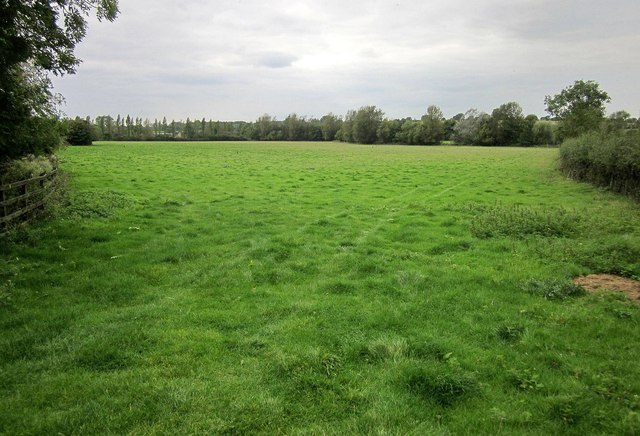
Image: © Derek Harper Taken: 27 Sep 2014
Looking in the opposite direction from the same spot as Image The Way, following footpath LSL/3, sticks to the left side of this field, which has feet in four adjacent squares. the line of trees on the far side, right of centre, are along the stream crossed by the bridge in Image
Images are licensed for reuse under creativecommons.org/licenses/by-sa/2.0
Image Location
Latitude
51.54529
Longitude
-2.376326