Benchmark in Cricklade Street
Introduction
The photograph on this page of Benchmark in Cricklade Street by Neil Owen as part of the Geograph project.
The Geograph project started in 2005 with the aim of publishing, organising and preserving representative images for every square kilometre of Great Britain, Ireland and the Isle of Man.

There are currently over 7.5m images from over 14,400 individuals and you can help contribute to the project by visiting https://www.geograph.org.uk
Benchmark in Cricklade Street
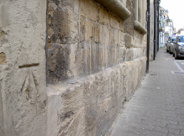
Image: © Neil Owen Taken: 18 Aug 2014
A cutmark, as listed in the Benchmark Database: http://www.bench-marks.org.uk/bm60811 , on the doorway of a building in Cirencester's main shopping thoroughfare. The building is currently up for tender, but the doorway looks has been blocked up for some time. See Image] for a wider view.
Images are licensed for reuse under creativecommons.org/licenses/by-sa/2.0
Image Location
Latitude
51.714746
Longitude
-1.967096