Location of benchmark on outbuildings at Seafield, Bowmore, Islay
Introduction
The photograph on this page of Location of benchmark on outbuildings at Seafield, Bowmore, Islay by Becky Williamson as part of the Geograph project.
The Geograph project started in 2005 with the aim of publishing, organising and preserving representative images for every square kilometre of Great Britain, Ireland and the Isle of Man.

There are currently over 7.5m images from over 14,400 individuals and you can help contribute to the project by visiting https://www.geograph.org.uk
Location of benchmark on outbuildings at Seafield, Bowmore, Islay
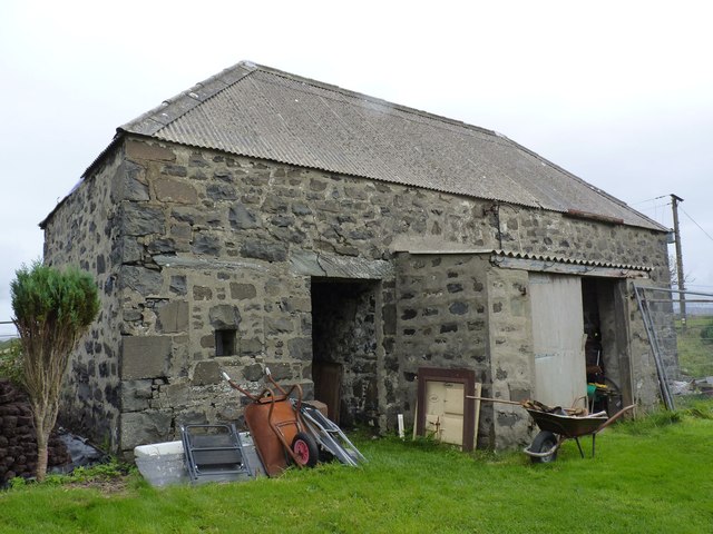
Image: © Becky Williamson Taken: 3 Oct 2014
Photographed with the owner's permission as this is in the grounds of a private property. Barely visible at bottom left of building. This is the outbuildings of what was once the Free Church Manse in Bowmore. For a closer view, see Image
Images are licensed for reuse under creativecommons.org/licenses/by-sa/2.0
Image Location


Leaflet Map data © OpenStreetMap
Latitude
55.752099
Longitude
-6.286501