Edge of the moor
Introduction
The photograph on this page of Edge of the moor by Richard Dorrell as part of the Geograph project.
The Geograph project started in 2005 with the aim of publishing, organising and preserving representative images for every square kilometre of Great Britain, Ireland and the Isle of Man.

There are currently over 7.5m images from over 14,400 individuals and you can help contribute to the project by visiting https://www.geograph.org.uk
Edge of the moor
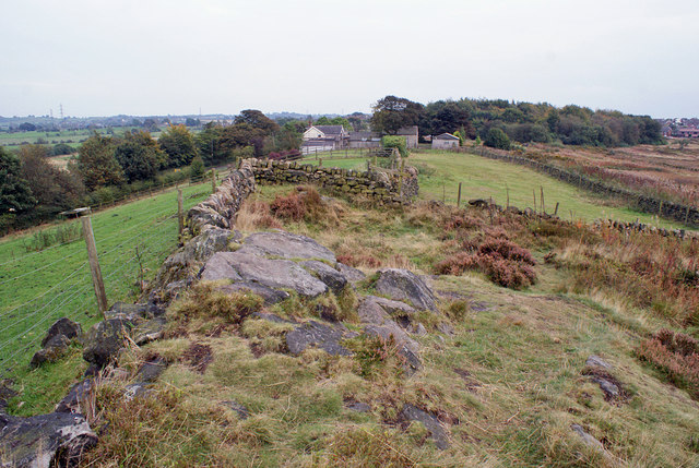
Image: © Richard Dorrell Taken: 20 Sep 2014
Stone walls and wire fences provides boundaries to the moor above Armshead.
Images are licensed for reuse under creativecommons.org/licenses/by-sa/2.0
Image Location
Latitude
53.031493
Longitude
-2.097031