Shropshire farmland north of Worfield
Introduction
The photograph on this page of Shropshire farmland north of Worfield by Roger D Kidd as part of the Geograph project.
The Geograph project started in 2005 with the aim of publishing, organising and preserving representative images for every square kilometre of Great Britain, Ireland and the Isle of Man.

There are currently over 7.5m images from over 14,400 individuals and you can help contribute to the project by visiting https://www.geograph.org.uk
Shropshire farmland north of Worfield
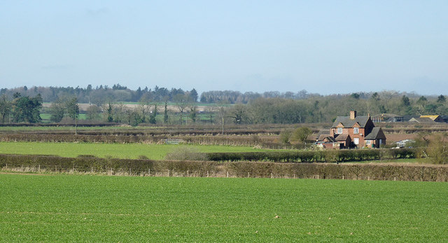
Image: © Roger D Kidd Taken: 11 Mar 2014
This image looking towards land north of Hartlebury, from near Cranmere Farm, shows The Bog Cottages from about five hundred metres distance. The Bog is off to the right.
Images are licensed for reuse under creativecommons.org/licenses/by-sa/2.0
Image Location
Latitude
52.574022
Longitude
-2.369437