Trig point of Potato Hill
Introduction
The photograph on this page of Trig point of Potato Hill by Trevor Littlewood as part of the Geograph project.
The Geograph project started in 2005 with the aim of publishing, organising and preserving representative images for every square kilometre of Great Britain, Ireland and the Isle of Man.

There are currently over 7.5m images from over 14,400 individuals and you can help contribute to the project by visiting https://www.geograph.org.uk
Trig point of Potato Hill
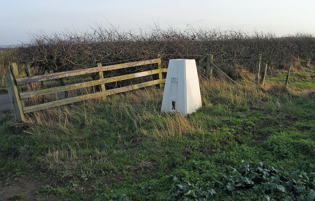
Image: © Trevor Littlewood Taken: 5 Dec 2004
Potato Hill lies just north of the A174 and quite adjacent to a minor road being separated from it by just a hedge; the road can be seen at the left edge of the image.
Images are licensed for reuse under creativecommons.org/licenses/by-sa/2.0
Image Location
Latitude
54.50978
Longitude
-0.722055