Wykeham House flats, Winchester
Introduction
The photograph on this page of Wykeham House flats, Winchester by Jaggery as part of the Geograph project.
The Geograph project started in 2005 with the aim of publishing, organising and preserving representative images for every square kilometre of Great Britain, Ireland and the Isle of Man.

There are currently over 7.5m images from over 14,400 individuals and you can help contribute to the project by visiting https://www.geograph.org.uk
Wykeham House flats, Winchester
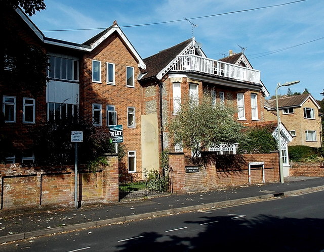
Image: © Jaggery Taken: 28 Sep 2014
Viewed across Christchurch Road near the Barnes Close junction. The nameplate on the wall shows WYKEHAM HOUSE FLATS 4 5 6.
Images are licensed for reuse under creativecommons.org/licenses/by-sa/2.0
Image Location
Latitude
51.051825
Longitude
-1.324705