Daugh of Ruthrie
Introduction
The photograph on this page of Daugh of Ruthrie by Anne Burgess as part of the Geograph project.
The Geograph project started in 2005 with the aim of publishing, organising and preserving representative images for every square kilometre of Great Britain, Ireland and the Isle of Man.

There are currently over 7.5m images from over 14,400 individuals and you can help contribute to the project by visiting https://www.geograph.org.uk
Daugh of Ruthrie
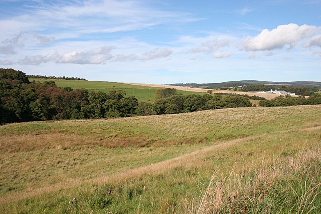
Image: © Anne Burgess Taken: 29 Sep 2014
The line of trees in the hollow marks the course of the Burn of Aberlour, which joins the River Spey at Aberlour. The white buildings in the distance are Glenallachie Distillery, in the next square.
Images are licensed for reuse under creativecommons.org/licenses/by-sa/2.0
Image Location
Latitude
57.449736
Longitude
-3.225718