Edenbridge
Introduction
The photograph on this page of Edenbridge by Nigel Freeman as part of the Geograph project.
The Geograph project started in 2005 with the aim of publishing, organising and preserving representative images for every square kilometre of Great Britain, Ireland and the Isle of Man.

There are currently over 7.5m images from over 14,400 individuals and you can help contribute to the project by visiting https://www.geograph.org.uk
Edenbridge
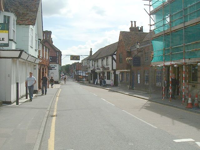
Image: © Nigel Freeman Taken: 23 Aug 2005
The main high street through Edenbridge used to be always busy with cars and lorries until the new by-pass was opened recently.
Images are licensed for reuse under creativecommons.org/licenses/by-sa/2.0
Image Location


Leaflet Map data © OpenStreetMap
Latitude
51.197702
Longitude
0.063889