Cotts Road, west of Capestone
Introduction
The photograph on this page of Cotts Road, west of Capestone by Richard Law as part of the Geograph project.
The Geograph project started in 2005 with the aim of publishing, organising and preserving representative images for every square kilometre of Great Britain, Ireland and the Isle of Man.

There are currently over 7.5m images from over 14,400 individuals and you can help contribute to the project by visiting https://www.geograph.org.uk
Cotts Road, west of Capestone
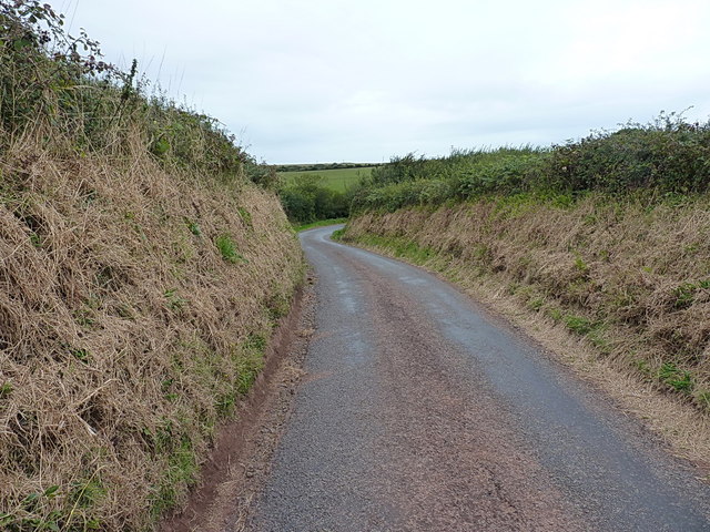
Image: © Richard Law Taken: 24 Aug 2014
A narrow lane between Capestone poultry farm and Hasguard Cross.
Images are licensed for reuse under creativecommons.org/licenses/by-sa/2.0
Image Location
Latitude
51.747497
Longitude
-5.103083