RAF Hospital Uxbridge development
Introduction
The photograph on this page of RAF Hospital Uxbridge development by Ian Harrison as part of the Geograph project.
The Geograph project started in 2005 with the aim of publishing, organising and preserving representative images for every square kilometre of Great Britain, Ireland and the Isle of Man.

There are currently over 7.5m images from over 14,400 individuals and you can help contribute to the project by visiting https://www.geograph.org.uk
RAF Hospital Uxbridge development
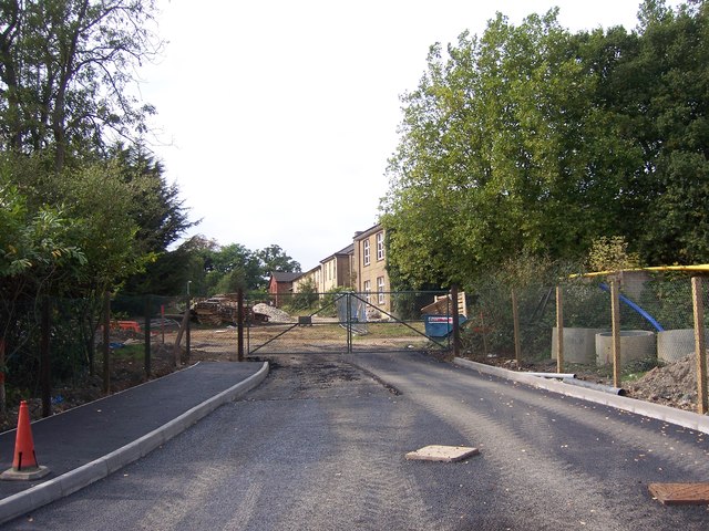
Image: © Ian Harrison Taken: 28 Sep 2014
The former RAF Hospital Uxbridge, currently undergoing conversion to become new housing. New access road is shown partially complete, this will link the development with St Andrew's Road from The John Locke academy.
Images are licensed for reuse under creativecommons.org/licenses/by-sa/2.0
Image Location
Latitude
51.546528
Longitude
-0.469715