Rerouted St Andrew's Road, Uxbridge
Introduction
The photograph on this page of Rerouted St Andrew's Road, Uxbridge by Ian Harrison as part of the Geograph project.
The Geograph project started in 2005 with the aim of publishing, organising and preserving representative images for every square kilometre of Great Britain, Ireland and the Isle of Man.

There are currently over 7.5m images from over 14,400 individuals and you can help contribute to the project by visiting https://www.geograph.org.uk
Rerouted St Andrew's Road, Uxbridge
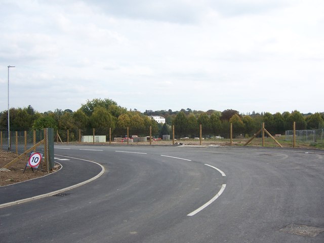
Image: © Ian Harrison Taken: 28 Sep 2014
Partial rerouting of St Andrew's Road. Photograph taken from new stretch of road leading from a newly constructed junction with Park Road. This new stretch of road allows for road access to the newly opened Image Hillingdon House can be seen between the trees.
Images are licensed for reuse under creativecommons.org/licenses/by-sa/2.0
Image Location
Latitude
51.544379
Longitude
-0.470364