Taunton Fire Station
Introduction
The photograph on this page of Taunton Fire Station by Kevin Hale as part of the Geograph project.
The Geograph project started in 2005 with the aim of publishing, organising and preserving representative images for every square kilometre of Great Britain, Ireland and the Isle of Man.

There are currently over 7.5m images from over 14,400 individuals and you can help contribute to the project by visiting https://www.geograph.org.uk
Taunton Fire Station
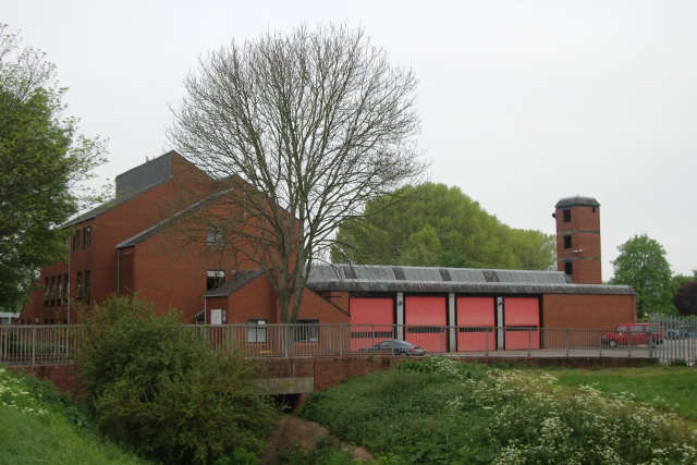
Image: © Kevin Hale Taken: 29 Apr 2007
Taunton Fire Station, Liseux Way, Taunton, Somerset. Up until this year, the counties of Somerset & neighbouring Devon ran their own fire services. On 1st April 2007, the two counties combined fire services to form the Devon & Somerset Fire & Rescue Service. All other parts of the respective county councils' functions remain administered by the relevant county.
Images are licensed for reuse under creativecommons.org/licenses/by-sa/2.0
Image Location
Latitude
51.015967
Longitude
-3.084077