Pear Tree Plat/Wood Field
Introduction
The photograph on this page of Pear Tree Plat/Wood Field by Simon Carey as part of the Geograph project.
The Geograph project started in 2005 with the aim of publishing, organising and preserving representative images for every square kilometre of Great Britain, Ireland and the Isle of Man.

There are currently over 7.5m images from over 14,400 individuals and you can help contribute to the project by visiting https://www.geograph.org.uk
Pear Tree Plat/Wood Field
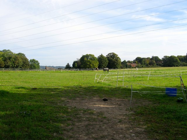
Image: © Simon Carey Taken: 25 Sep 2014
The name of the fields according to Slaugham's 1842 tithe map that have been merged to form a larger unit. Pear Tree Plat was in the foreground adjacent to the footpath to the A23, whilst Wood Field was to the north next to Cuckfield Lane, the B2115. The field is bounded by Image to the south and Image to the east. The buildings in view are Fridays Farm to the left and Woodhill to the right.
Images are licensed for reuse under creativecommons.org/licenses/by-sa/2.0
Image Location
Latitude
51.019381
Longitude
-0.203828