Roman Road III - Cheltenham, Gloucestershire
Introduction
The photograph on this page of Roman Road III - Cheltenham, Gloucestershire by Martin Richard Phelan as part of the Geograph project.
The Geograph project started in 2005 with the aim of publishing, organising and preserving representative images for every square kilometre of Great Britain, Ireland and the Isle of Man.

There are currently over 7.5m images from over 14,400 individuals and you can help contribute to the project by visiting https://www.geograph.org.uk
Roman Road III - Cheltenham, Gloucestershire
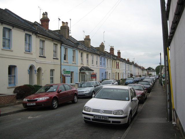
Image: © Martin Richard Phelan Taken: 25 Sep 2014
In 1850 the Cheltenham and Gloucester Freehold Land Society bought 15 acres in this area fronting the Gloucester Road for housing. Originally called the Libertus Estate, the object was to acquire for members enough freehold land to enable them to vote. After St Mark's Church was built the name fell from view and the only reminder now is the nearby Libertus Road. This road connects to the Garden Suburb – in 1919 Cheltenham Town Council bought 115 acres from Mr H Unwin, owner of Arle Court, for housing where all the roads are named after poets. Information regarding the Libertus Estate and Garden Suburb from the website http://web.archive.org/web/20120406164246/http://www.cheltenham4u.co.uk/index.asp and thanks are due to them for this. Time taken 3.18 pm BST (British Summer Time).
Images are licensed for reuse under creativecommons.org/licenses/by-sa/2.0
Image Location
Latitude
51.898572
Longitude
-2.101396