Horsham Lane, Honicknowle, Plymouth
Introduction
The photograph on this page of Horsham Lane, Honicknowle, Plymouth by David Smith as part of the Geograph project.
The Geograph project started in 2005 with the aim of publishing, organising and preserving representative images for every square kilometre of Great Britain, Ireland and the Isle of Man.

There are currently over 7.5m images from over 14,400 individuals and you can help contribute to the project by visiting https://www.geograph.org.uk
Horsham Lane, Honicknowle, Plymouth
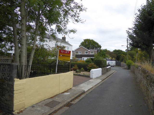
Image: © David Smith Taken: 26 Sep 2014
A narrow cul-de-sac with old houses on the left, a primary school beyond the stone wall on the right and modern houses beyond. Formerly this was a lane giving access to fields
Images are licensed for reuse under creativecommons.org/licenses/by-sa/2.0
Image Location
Latitude
50.410454
Longitude
-4.154223